|
|
Use these navigation links to move between the Year 2025 pages. Specific pages can be accessed at the bottom of this page
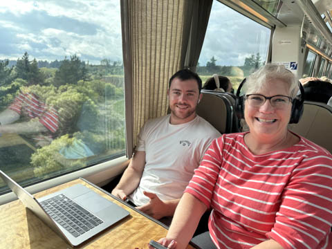
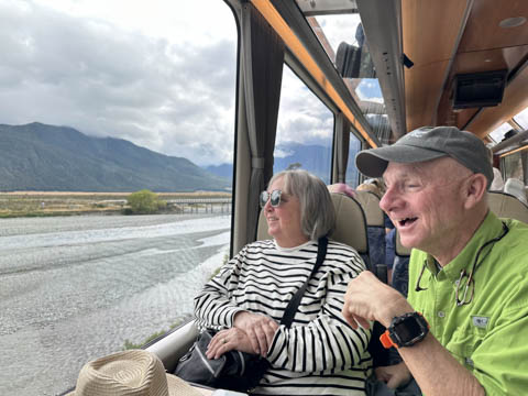
January 2025 (Part 09) New Zealand Trip - Day Eight: Christchurch, TransAlpine Train, Hokitika, and Franz Josef Adventures By Disney - Day Seven: Tiki Tour Today was a big day, with a ride over the Southern Alps from the east toward west coast on the TransAlpine Train from Christchurch to Arthur's Pass. The route is considered one of world's great train journeys, traversing 139 miles of track through some of the most stunning natural landscapes in the world. The route covered the fertile Canterbury Plan, the ice-fed Waimakariri River, the majestic Southern Alps, and miles of native beech forest. Lots of windows, but still tough to take pictures through.
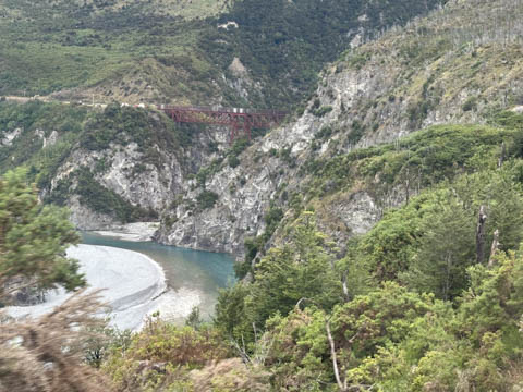
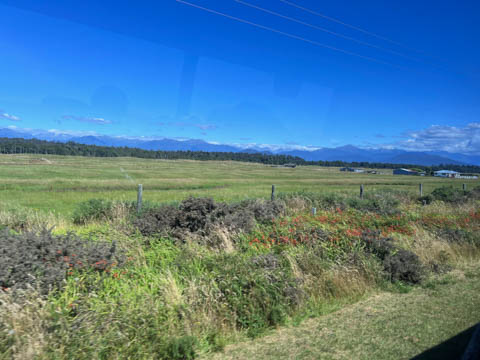
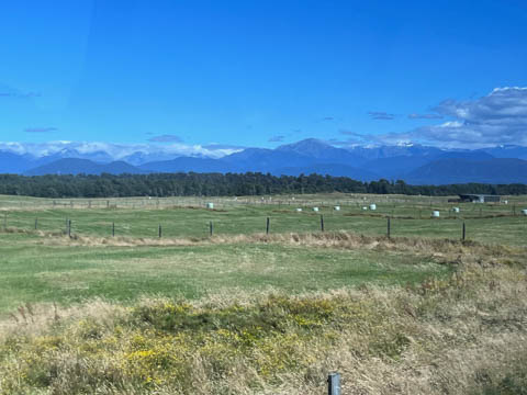
The terrain started off relatively flat as we made our way through the agricultural land and communities of the Canterbury Plains, New Zealand's primary agricultural region which is 200 km north-south and 70 km east-west. The train roughly followed the Waimakairiri River. After passing through the town of Springfield, the route started heading up into the mountains following the river gorge along an area of the route renowned for its engineering with 15 short tunnels and 4 dramatic viaducts before the route reaches the high plains near Craigsburn. We all tried to get pictures, but there was incredible glare on the glass and much of the items flashed by too quickly or were only clearly visible for a brief moment through a gap between trees or hills on the side of the tracks.
Once we were through the last of the tunnels, the open-air viewing carriage was opened, and Steve headed there with his camera. It was essentially a bare car with horizontal bars instead of windows. Glad he had his fleece. A lot of people came when it opened and quickly dispersed.
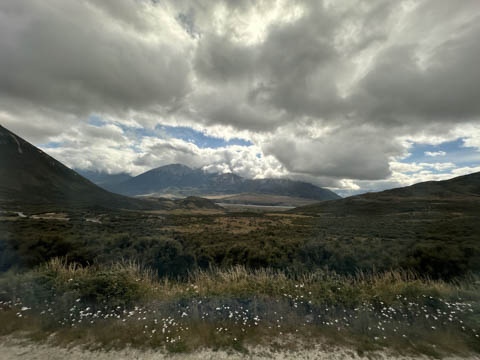
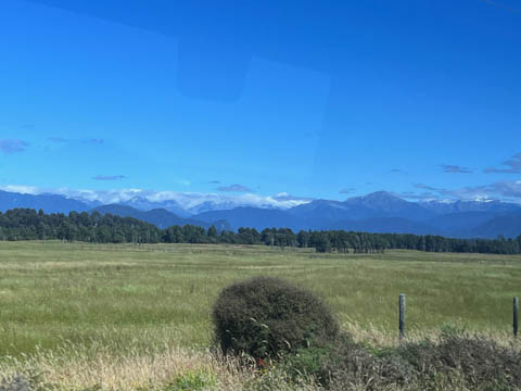
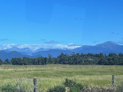
Several low lying clouds obscuring some of the peaks.
Had to contend with telephone and electrical wires which paralleled the train tracks.
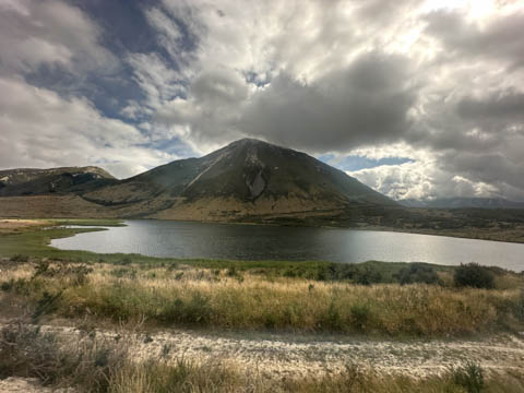
Here is Mount Binser hidden in the midst.
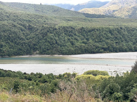
I think this is Lake Pearson or Lake Sarah.
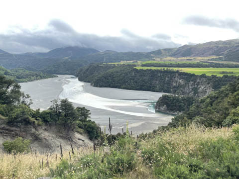
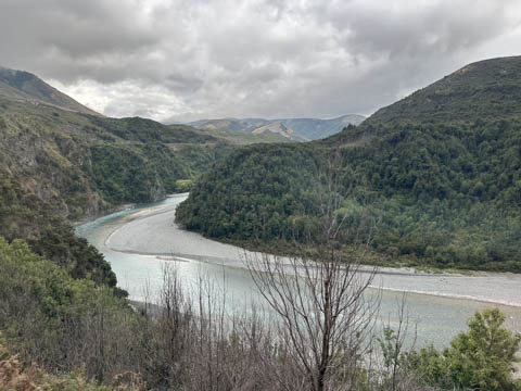
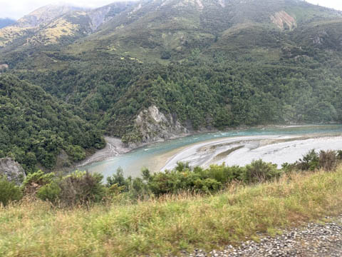
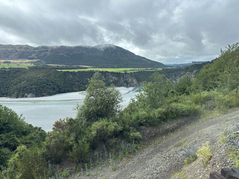
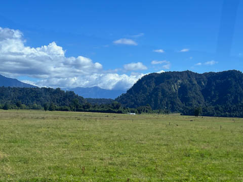
The valley opened up to a wider, flat river valley.
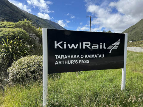
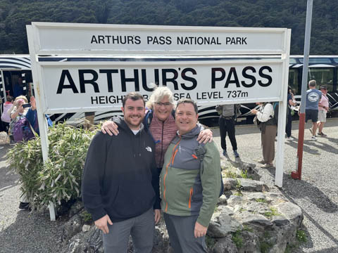
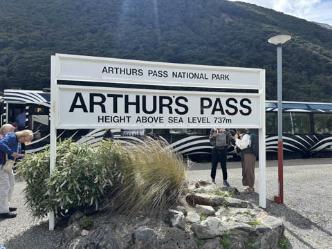
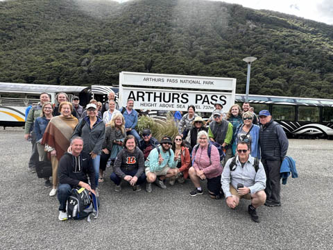
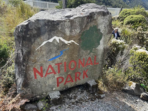
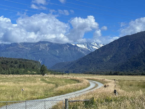
We got off the train at Arthur's Pass, which is the high point of the pass over the Southern Alps, a route historically known to Maori hunting parties as a route used for trade between east and west, especially in pounamu (green rock similar to jade) which is found in the southwest and was sacred as its hard material was used in weapons and jewelry. Arthur's Pass is at the entrance to Arthur's Pass National Park where the "continental" divide runs right through the majestic mountains. The pass sits 920 metres or 3,020 feet above sea level and marks part of the boundary between the West Coast and Canterbury regions. Located 140 km from Christchurch and 95 km from Greymouth, the pass comprises part of a saddle between the valleys of the Ōtira River (a tributary of the Taramakau River in the west) and of the Bealey River (in the east).
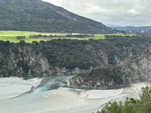
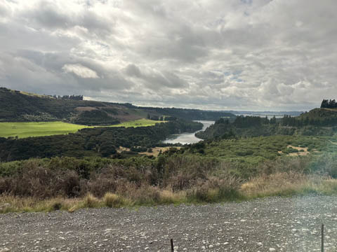
From there, we reboarded our bus and headed downhill to the west coast. Still dramatic scenery, but again a challenge to photograph due to the glare on the glass.
Andy kept taking pictures on the road down out of the mountains.
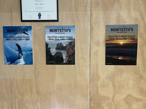
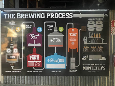
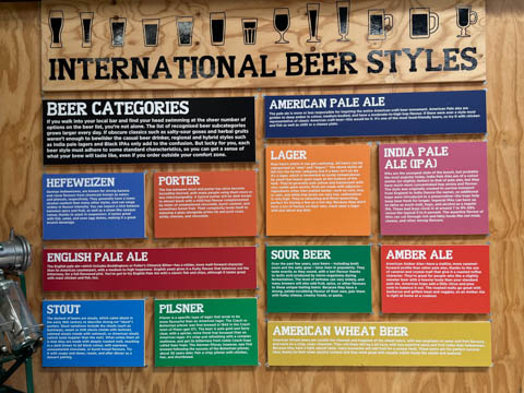
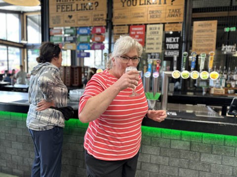
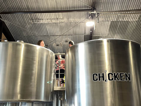
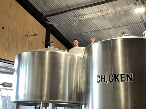
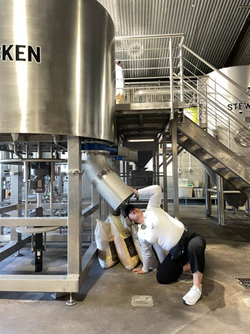
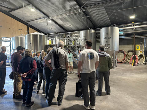
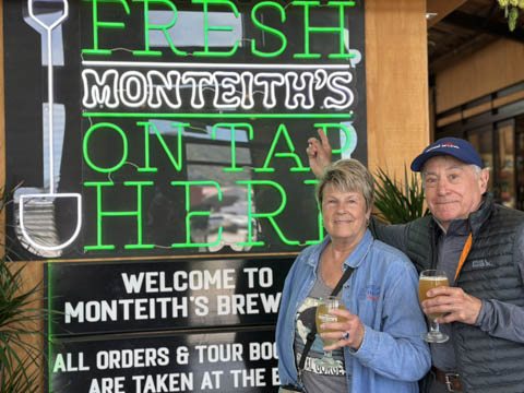
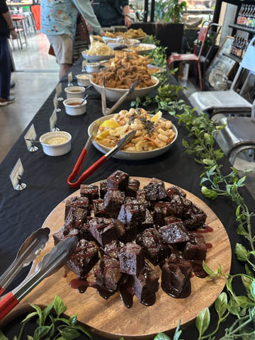
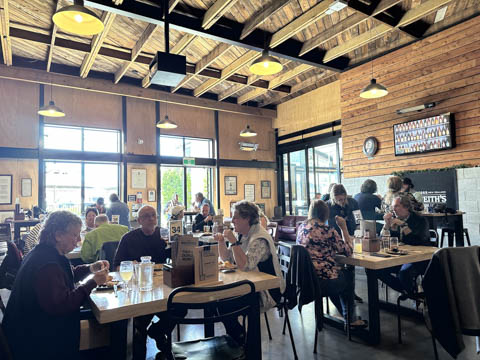
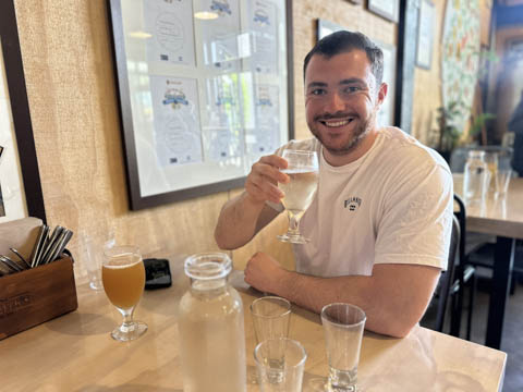
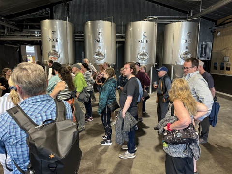
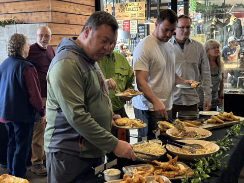
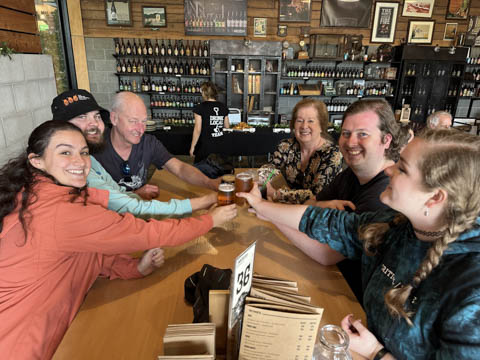
We were headed to Monteith's Brewing Company in Greymouth, which is on the west coast. Liked this place and enjoyed the tour along with the food and drink.
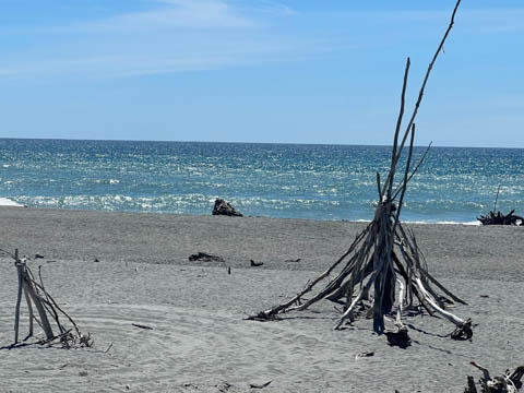
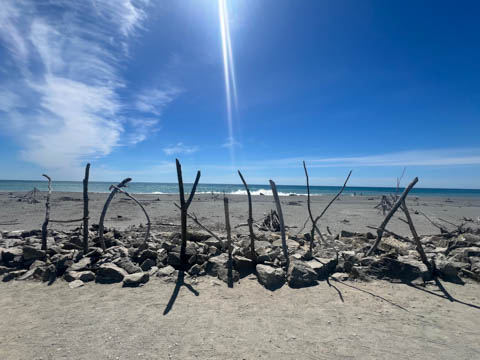
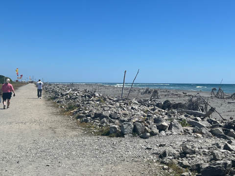
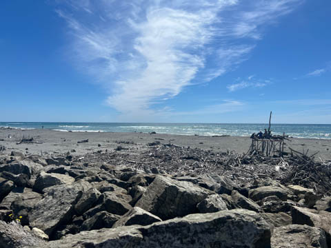
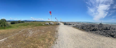
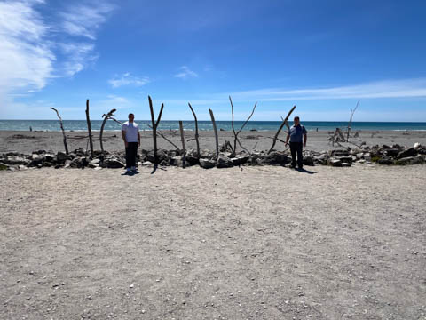
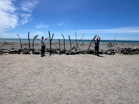
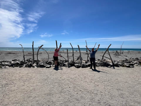
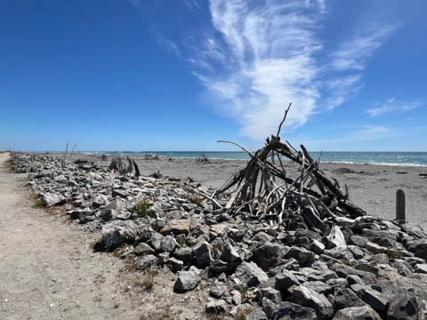
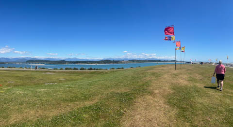
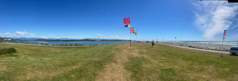
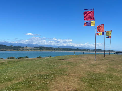
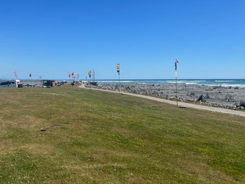
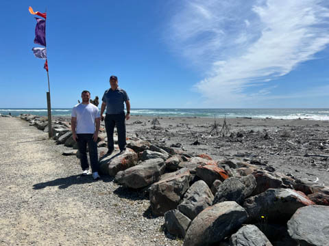
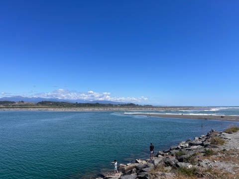
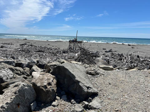
Disney does a good job of planning stops every 1.5 to 2 hours to ensure we get a chance to stretch and get off the bus. Our next stop was in Hokitika, which is essentially a beach community on the coast. It had a cheaper pounamu store and several people bought pieces. After looking around, we had enough time for a short walk along the beach (and a rapid retreat to get back to the bus by the departure time).
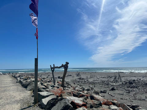
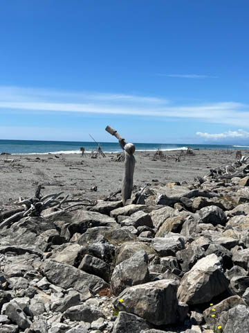
A number of "artworks" created from driftwood, including this Hokitika sign.
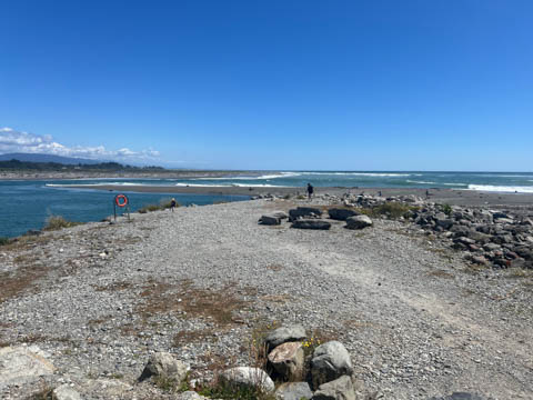
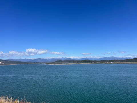
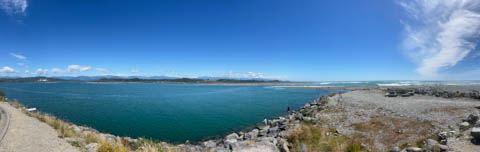
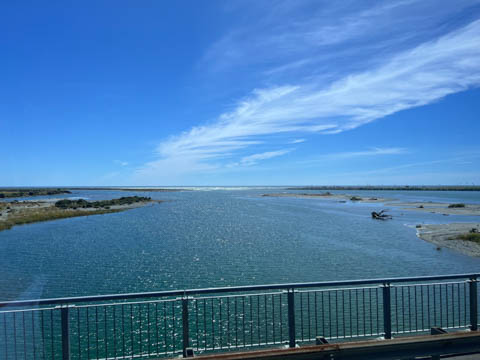
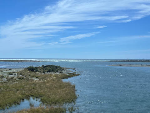
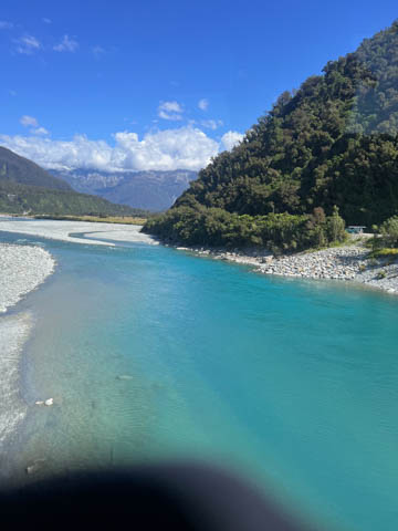
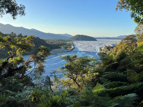
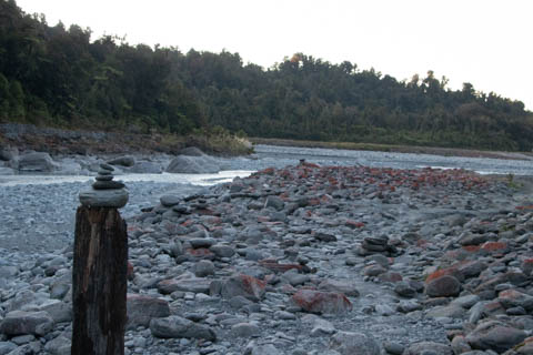
We made it to the inlet where the Hokitika River emptied into the ocean, with a nasty break over a sand bar.
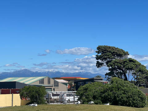
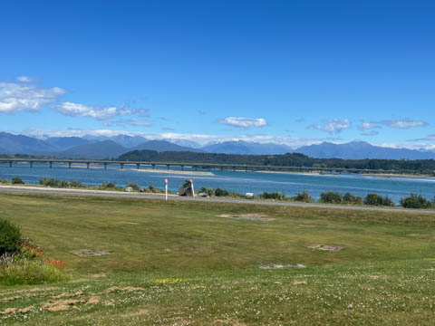
A couple wonderful scenic views as we traveled south along the coast.
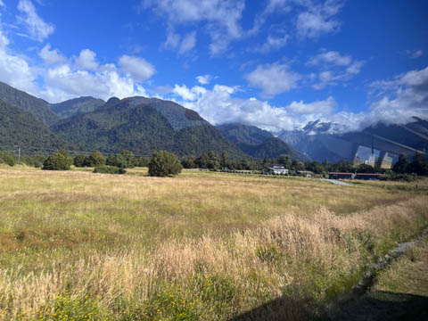
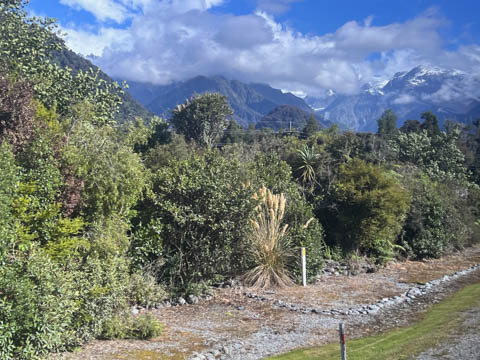
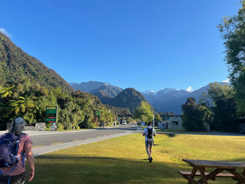
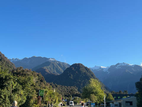
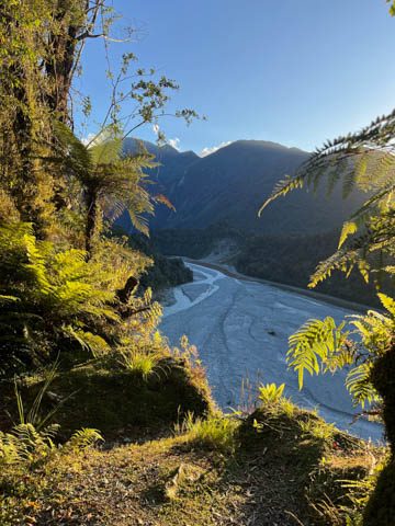
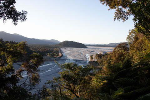
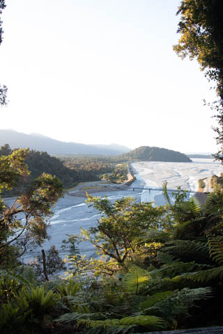
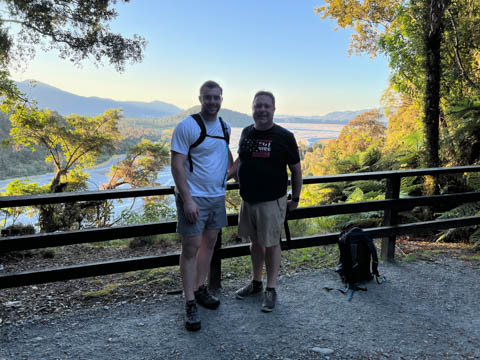
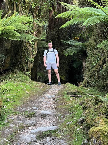
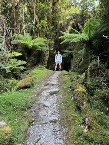
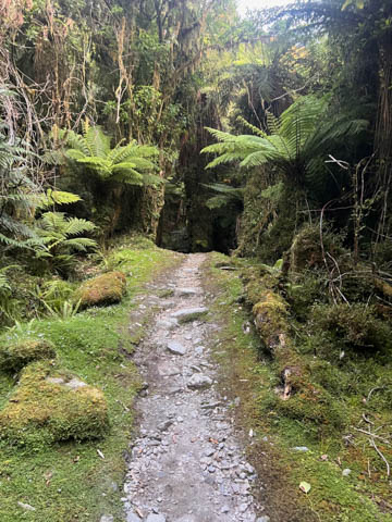
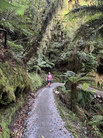
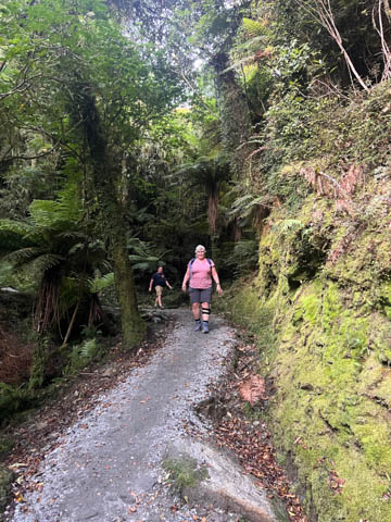
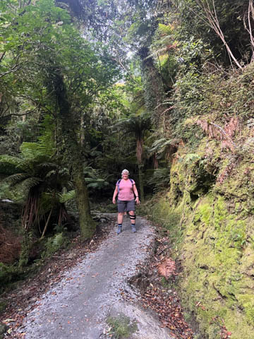
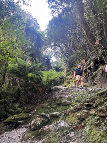
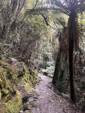
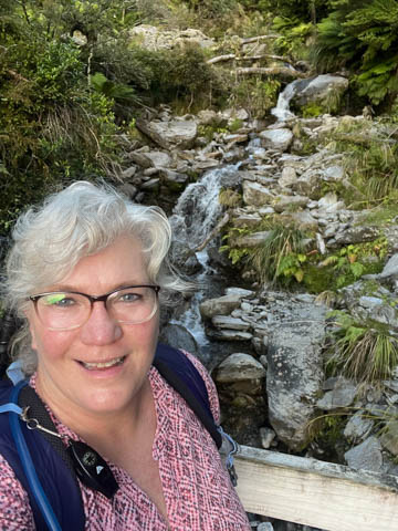
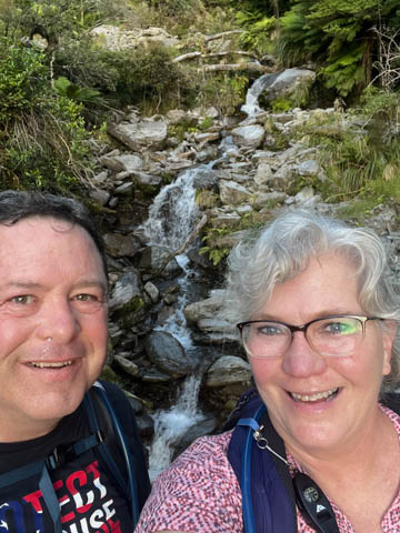
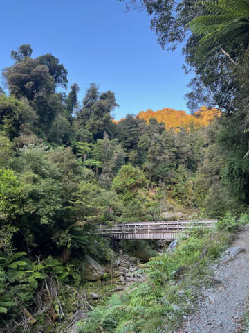
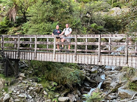
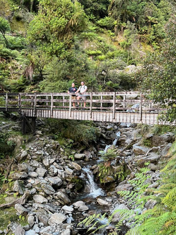
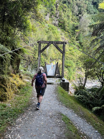
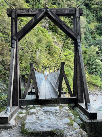
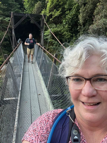
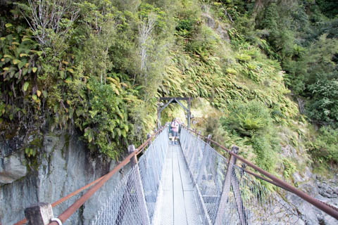
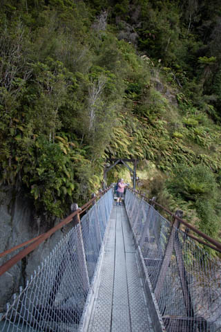
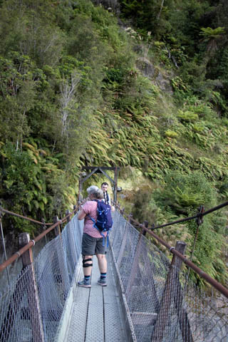
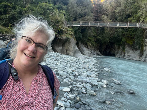
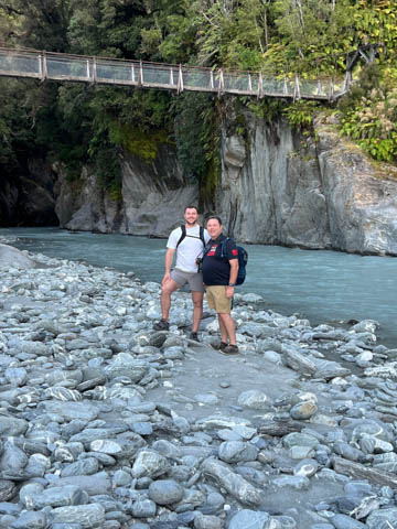
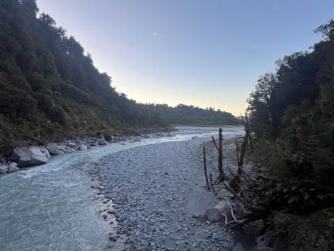
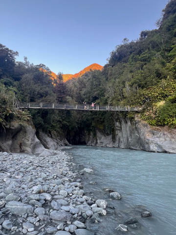
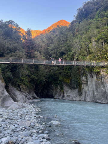
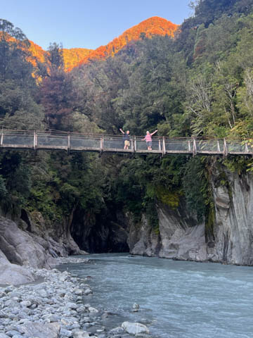
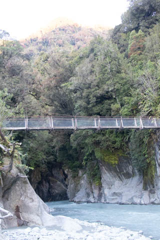
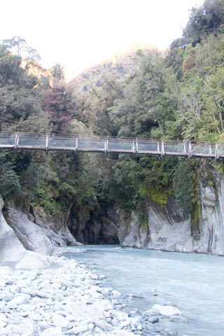
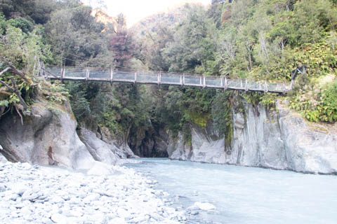
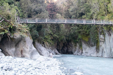
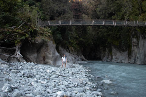
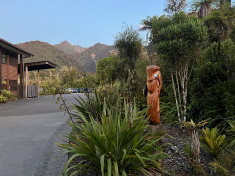
Out hotel was in Franz Josef, which is about half-way down the west coast of the South Island. It is the gateway to Westland Tai Poutini National Park and the Franz Josef Glacier (and Fox Glacier). We had dinner at the Waonui Forest Retreat hotel with our group, then realized if we hurried, we had time for a hike. Andy had found a short hike starting nearby which ended at the Callery Gorge suspension bridge over the Callery River.
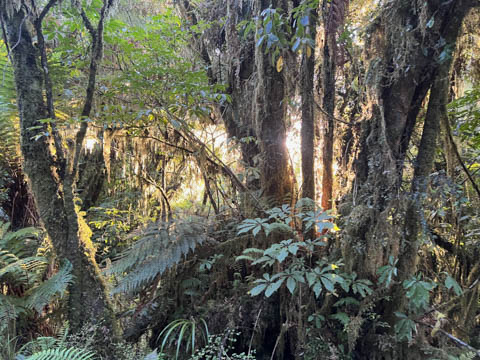
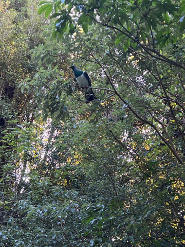
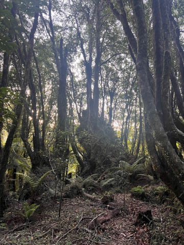
We saw two Kea (alpine parrots) just after the start, but failed to get a picture of them. The trail began as a jeep track up to a ridge over the town, leading to several water tanks which must be part of the town's water supply. Once the track reached an overlook of the Callery River it turned into a small single track trail heading up and down the ridge.
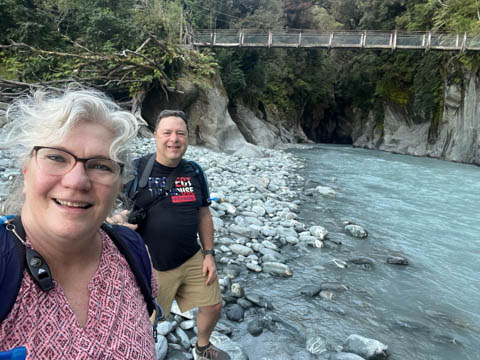
We had to cross a small bridge to get to the larger bridge.
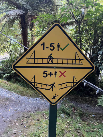
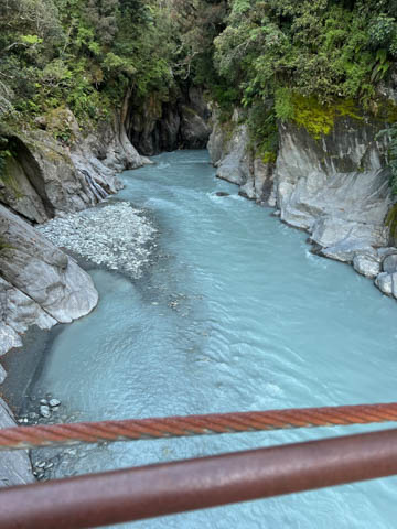
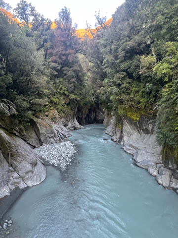
We reached the end of the trail, dropping back down in elevation to just above the river at the bridge. Loved the sign of the limit of 5 people on the bridge. The trail essentially ended at the far side of the bridge, so it really wasn't clear why there was a bridge at all.
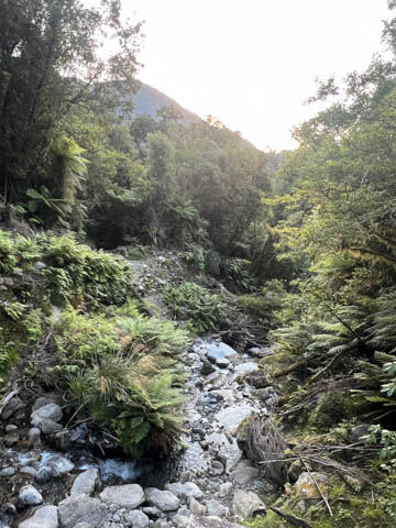
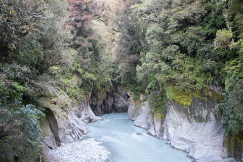
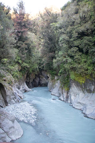
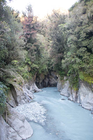
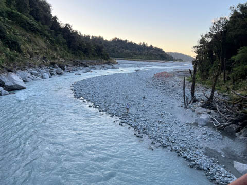
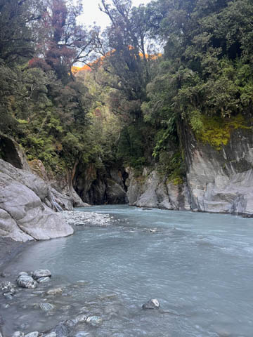
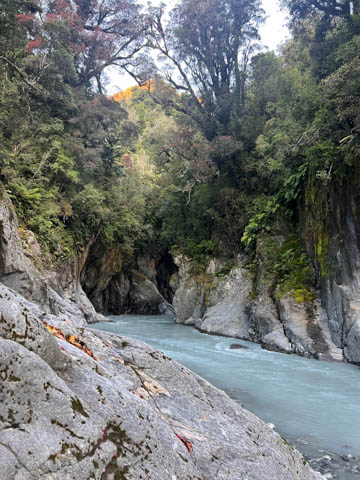
The gorge upriver was pretty amazing. Too bad there wasn't a path or safe route to explore further.
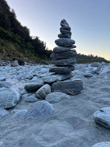
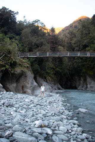
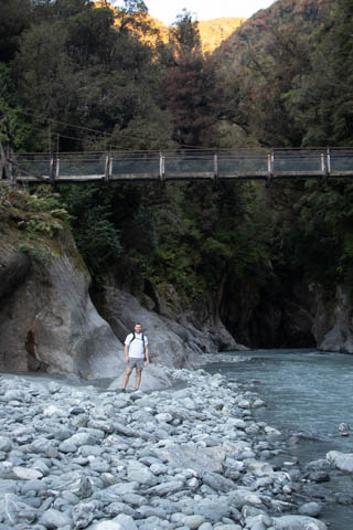
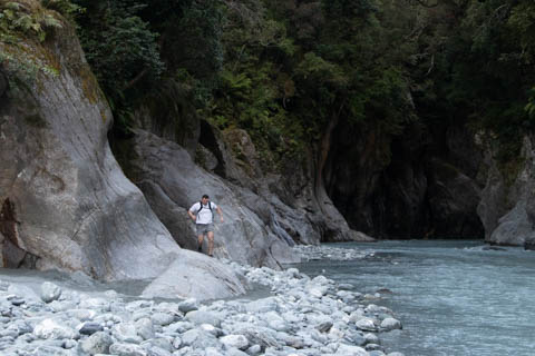
There was a short path leading down to the riverbank.
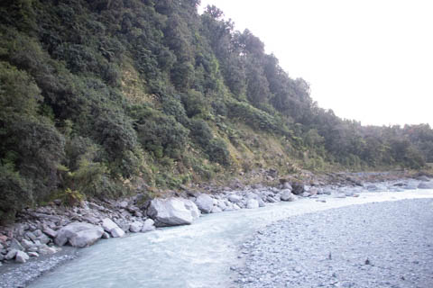
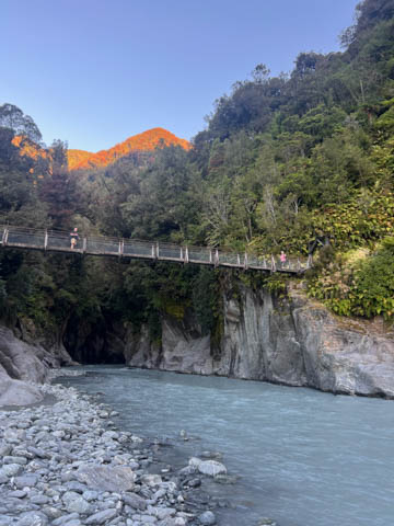
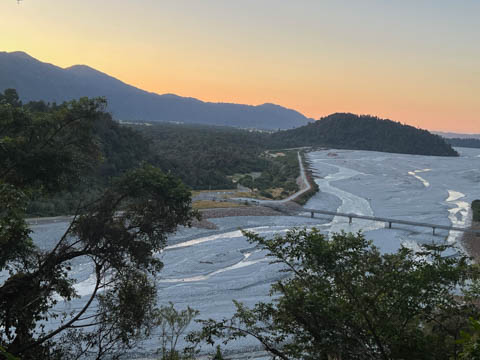
Love the sunset hitting the peaks behind this scene.
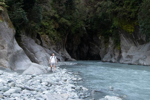
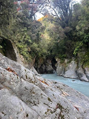
Andy tried to find a route upstream, but didn't get very far.
Looks like these are the pictures he took.
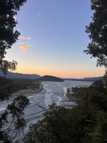
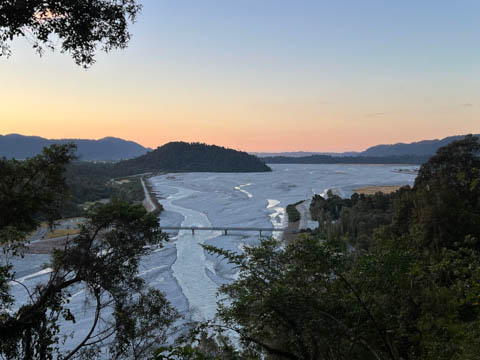
Had to admire the view at the overlook again, which was even more impressive with the sunset.
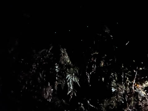
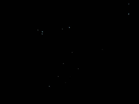
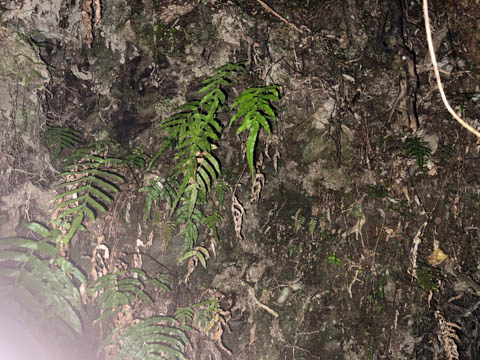
We made it back to the hotel right at twilight, perfect timing. We discovered the hotel had a guest laundry which several of our group were using, but the washers had just opened up allowing us to get a much needed load in, even if we had to stay up a bit late. We soon ran into Tiffany, who took several of us outside along a short path from the hotel to find a small cave with glow worms. Here is a picture without and with a flash.
She also pointed out the Southern Cross constellation and how to locate the southern celestial pole.
|
|
|