


|
|
Use these navigation links to move between the Year 2025 pages. Specific pages can be accessed at the bottom of this page
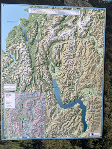
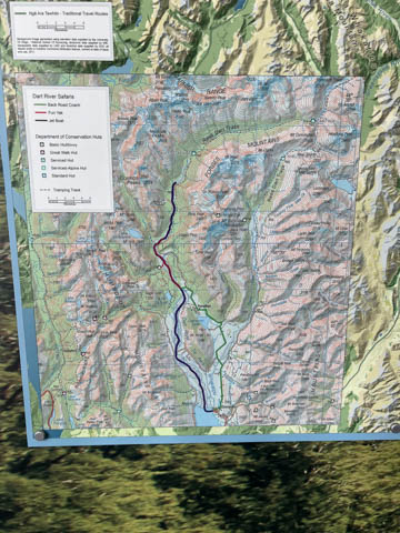
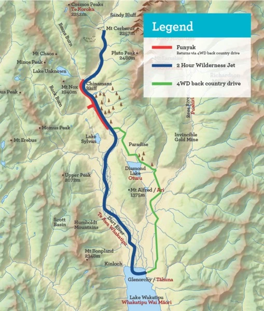
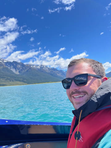
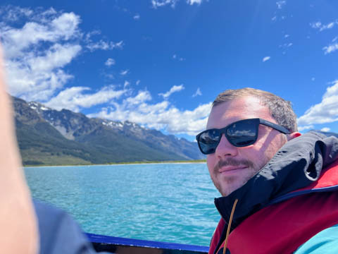
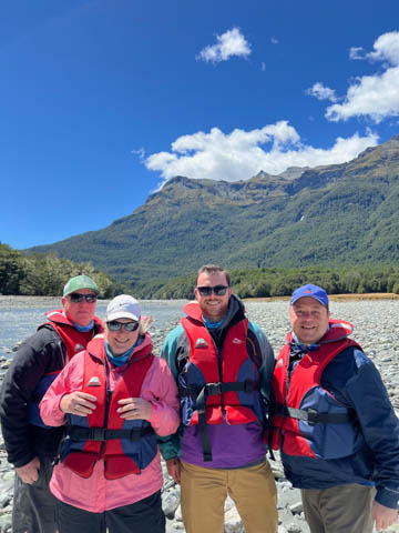
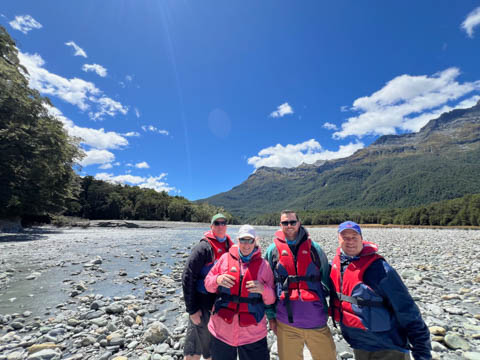
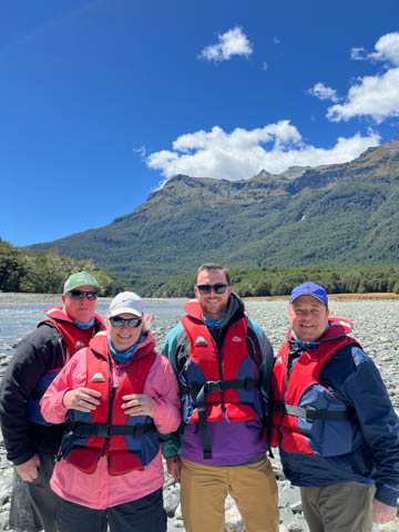
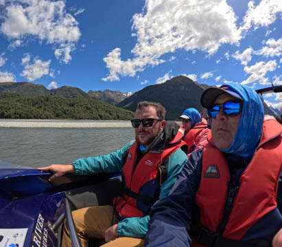
January 2025 (Part 17) New Zealand Trip - Day Sixteen: Dart River Jet Boating We decided we wanted to go jet boating with David. In talking to the reservation team, we decided against going to the Shotover River, which looked fun going through a tight rocky canyon, but was only 15 minutes each way. So, we headed north to Glenorchy to go up the Dart River again. An even prettier day than last time, and much less wind. Here are two maps showing the Dart River at the top end of Lake Wakatipu and a map showing the normal ride up river until it gets too narrow and shallow to safely go further.
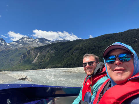
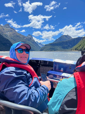
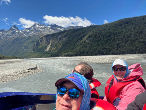
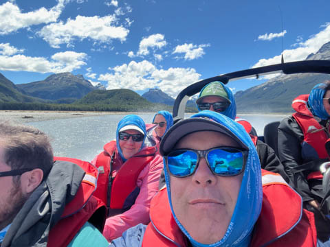
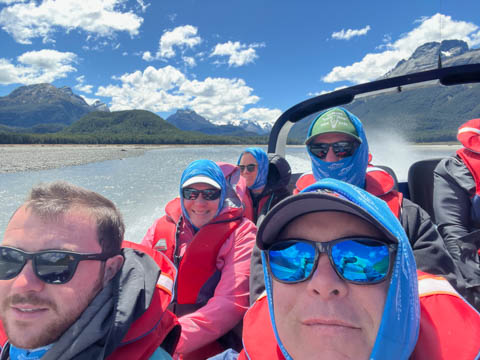
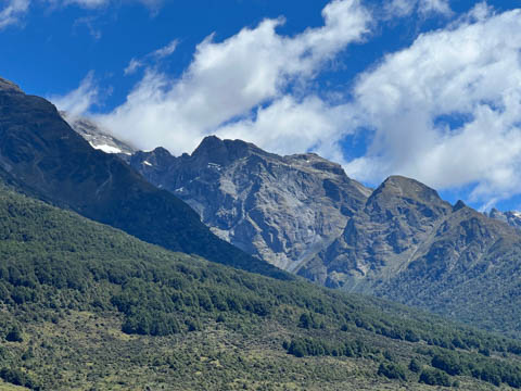
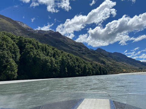
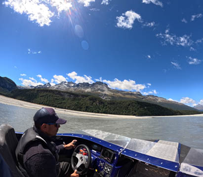
Our driver was Jimmy, glad he was up to the challenge of navigating the glacial river at high speed. He also pointed out more spots used in filming the Lord of the Rings than the previous trip, including the valley where they set Isengard. We also passed the small hill used for the Amon Hen, where the Fellowship of the Ring was attacked by orcs and Uruk-hai when Boromir was killed, Merry and Pippen taken, and Frodo and Sam fled. Both of these were actually on private land just outside the National Park, which allowed the film crews to access them with vehicles and build some of the sets needed. He also said several of the ridgelines had been used to film the Pass of Caradhras over the Misty Mountains (from which the Fellowship of the Rings turned around and instead went through the Mines of Moria) and the mountains where the Beacons of Gondor were lit to warn Rohan that Minas Tirith was under attack and needed aid. The ridgeline was also used for the helicopter chase and where Tom Cruise and Henry Cavill hung from the side of a rock ledge. Theoretically, we took pictures of each of these spots as Jimmy pointed them out, but identifying the resulting photos was impossible.
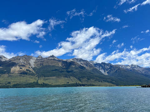
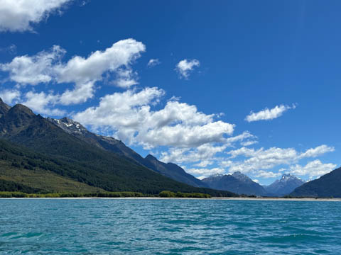
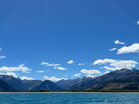
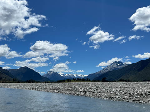
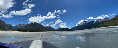
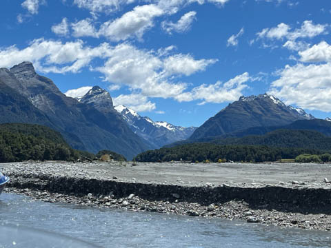
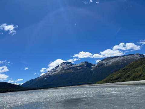
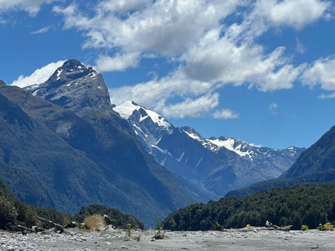
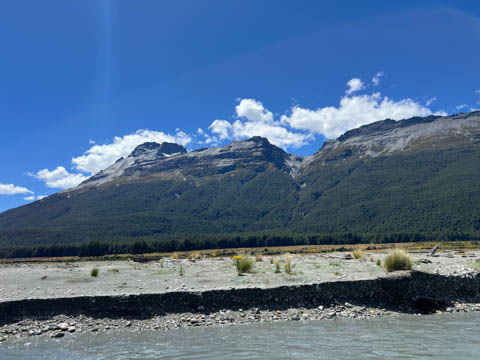
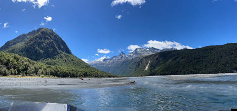
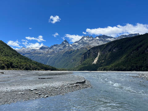
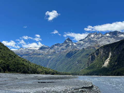
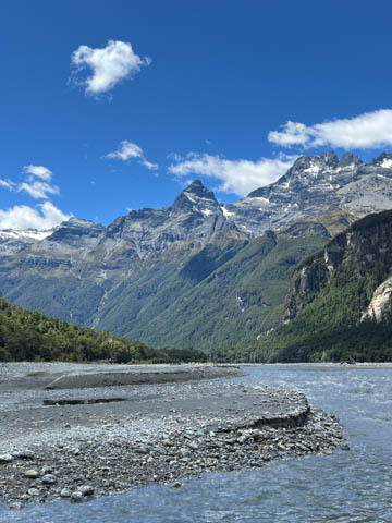
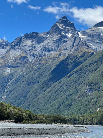
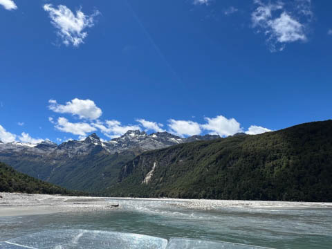
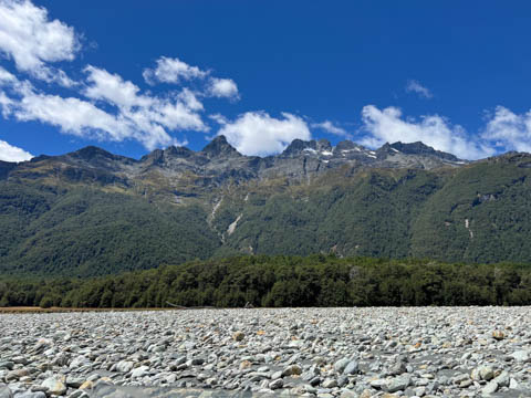
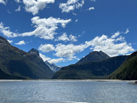
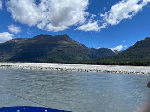
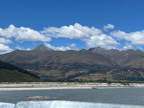
A pretty sight looking up river from the lake at the start of the trip. Best guess is that you can see Poseidon Peak in the distance on the left and Climax Peak farther away in the distance on the right, both of which are within Mount Aspiring National Park (which is home to over 100 glaciers)
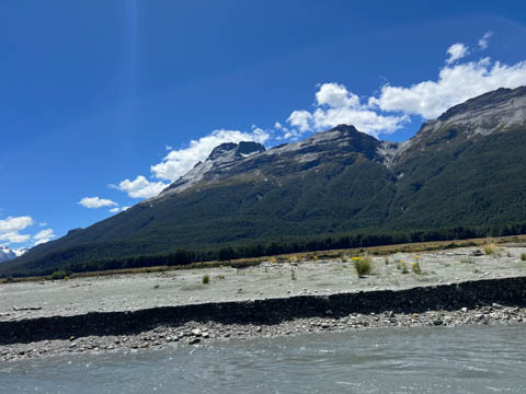
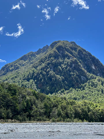
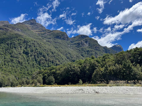
To the right and much closer is Mount Alfred (called Ari by the Maori), with Mount Earnslaw behind it (called Pikirakatahi in Maori).
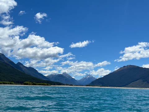
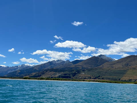
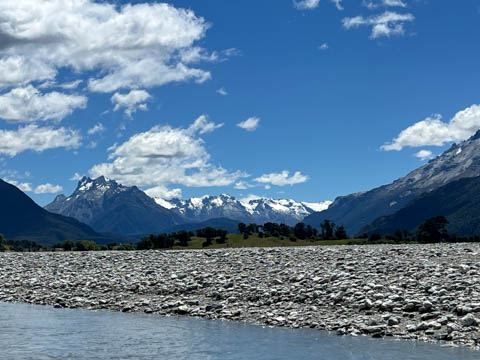
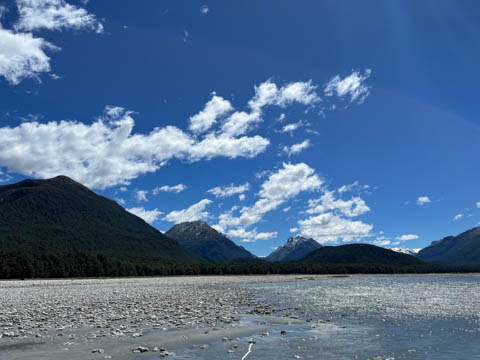
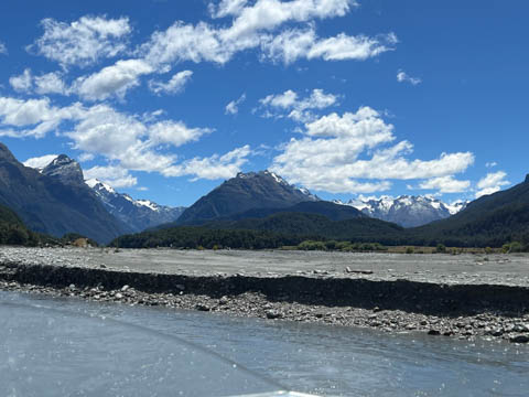
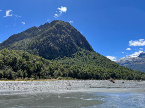
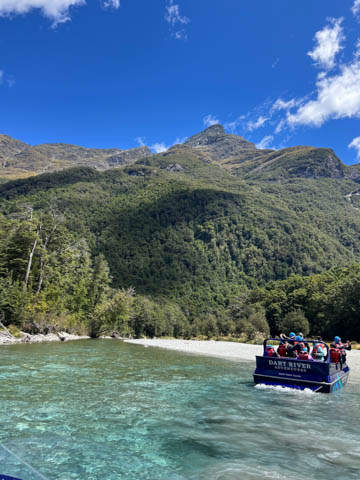
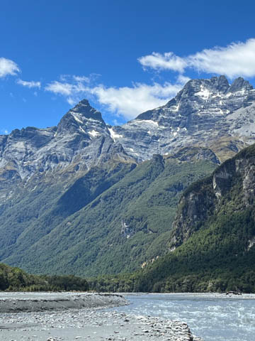
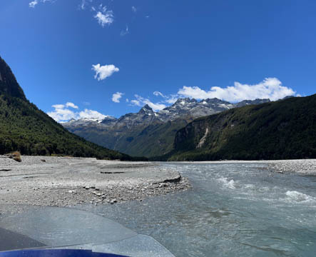
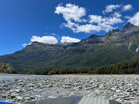
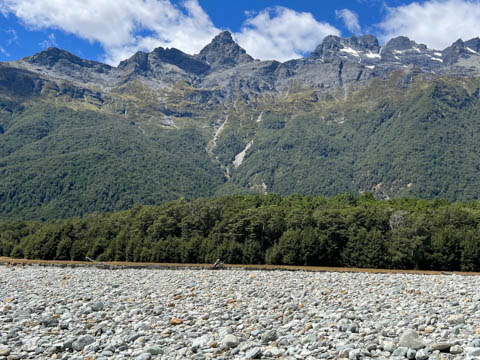
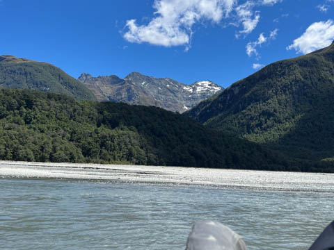
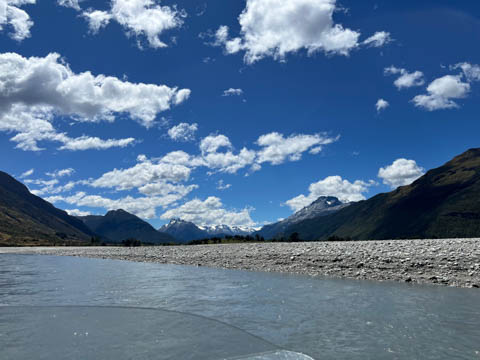
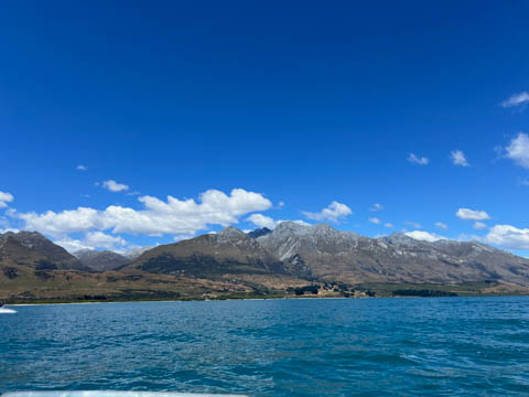
Jimmy went into the river at a different place than we did earlier, going up a much smaller winding route until joining the main current. As we went upriver, more mountains came out that we obscured by the ones in front. What a beautiful day!
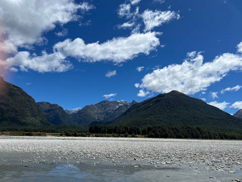
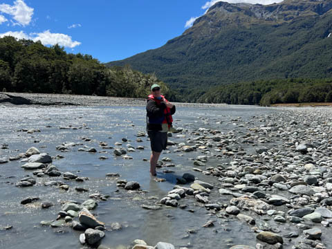
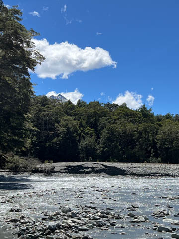
We stopped at the same sandbar where a small clear water stream (Beans Burn) enters the Dart River just upriver of Chinamen's Bluff.
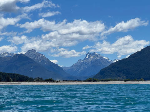
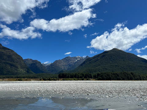
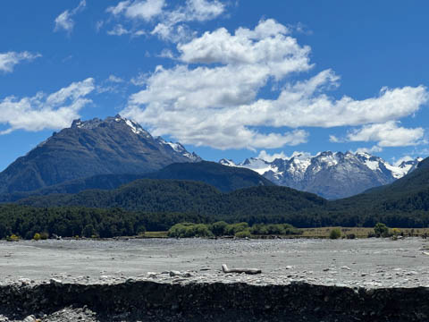
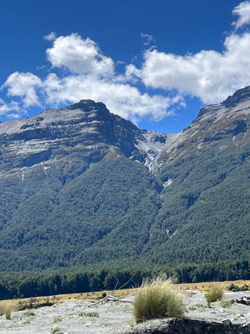
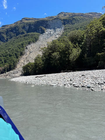
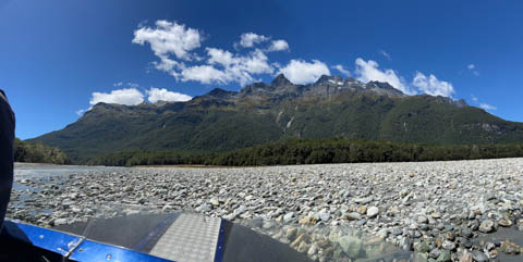
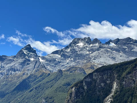
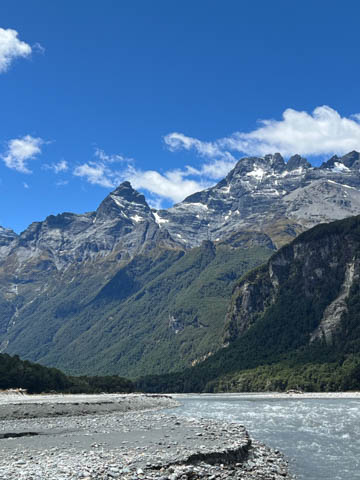
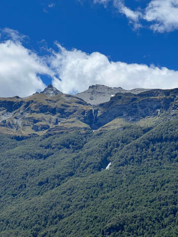
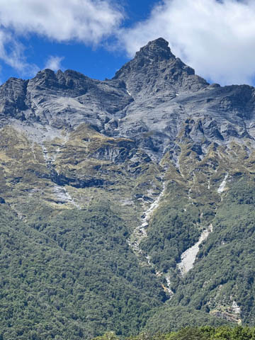
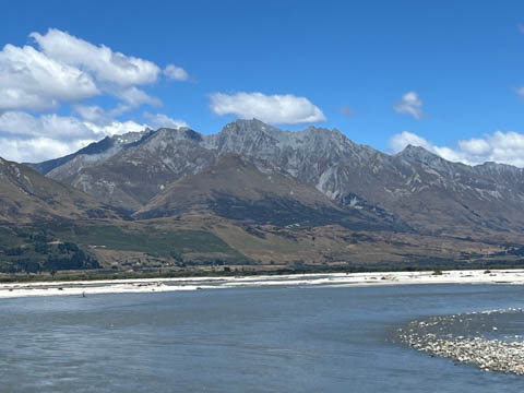
From there, looking to the east toward Mount Earnslaw (which is the left-most peak below), we could see a large bowl creating a cleft in the ridgeline. Jimmy told us this was used in the filming of the dam which the Ents destroyed to flood Isengard in the Lord of the Rings: the Two Towers. The actual footage was mostly CGI and a set, but the mountain provides the backdrop.
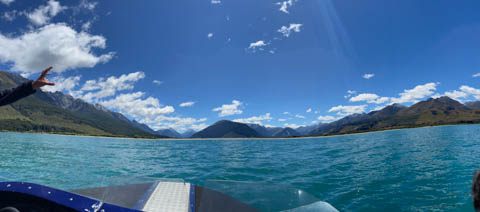
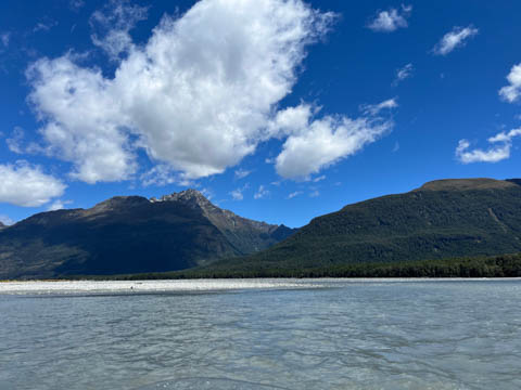
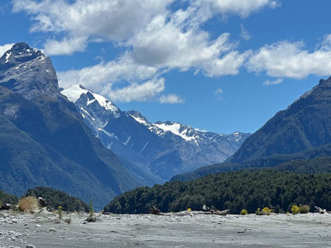
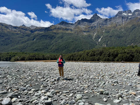
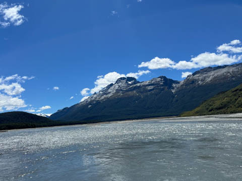
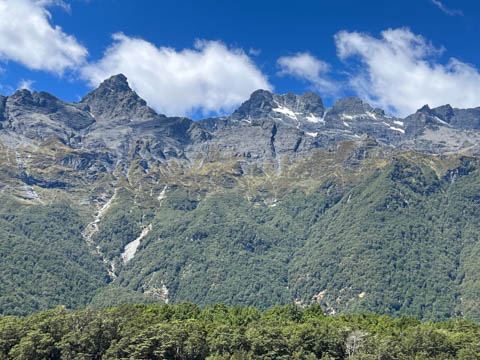
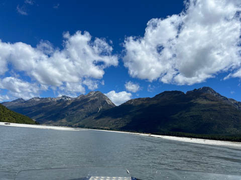
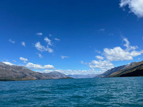
We went farther up the river from the sand bar, getting much farther than we did on our prior trip.
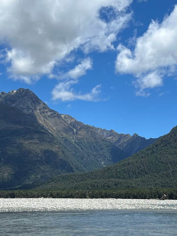
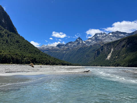
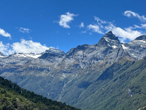
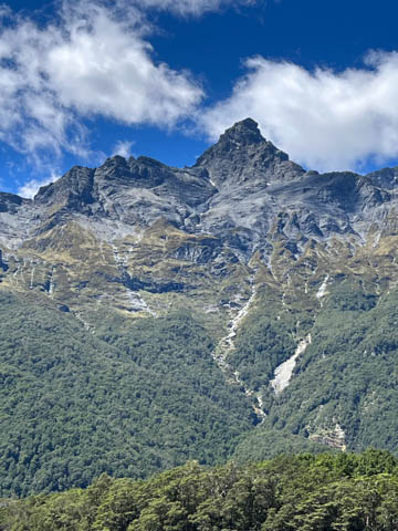
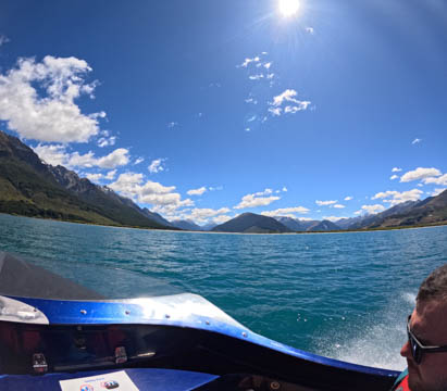
An amazing view of Mount Earnslaw from up the river. According to Jimmy, the jagged Pluto Peak to the left in these images and on the backside of Mount Earnslaw (which rises to its right) was used in Lord of the Rings: The Two Towers to represent the peak above Moria where Gandalf and the Balrog broke out from the mine during their battle.
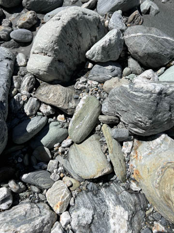
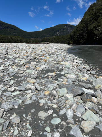
We also stopped at a sandbar where there were several rocks with traces of Pounamu (green stone) visible.
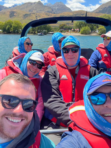
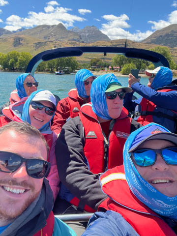
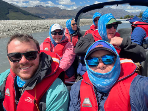
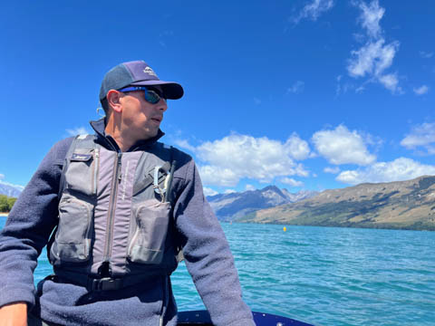
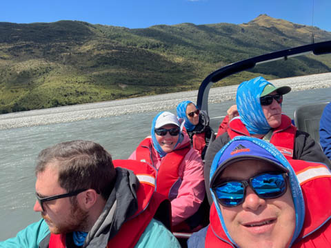
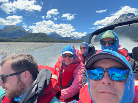
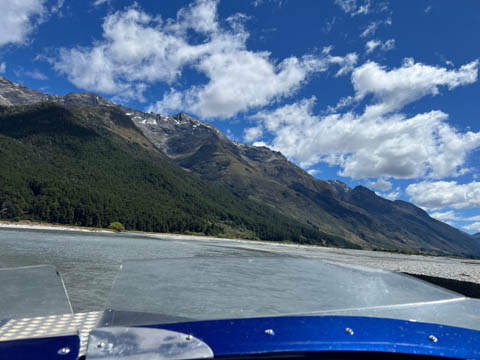
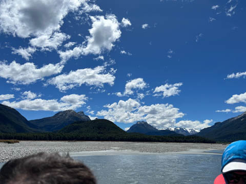
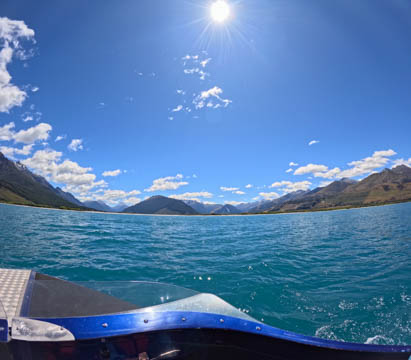
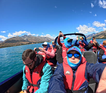
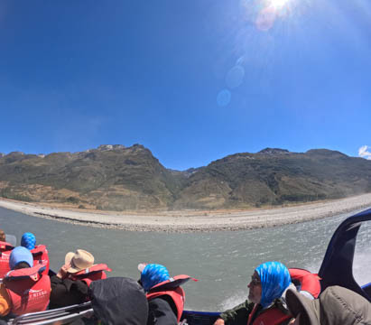
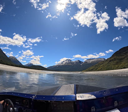
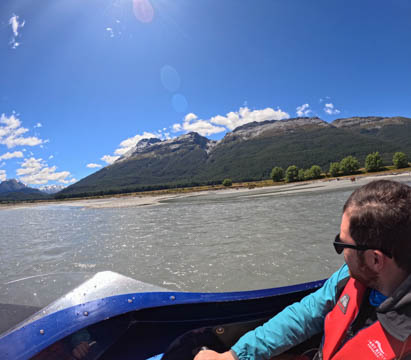
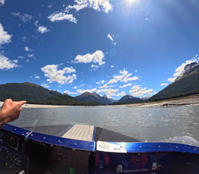
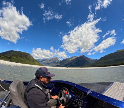
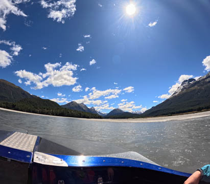
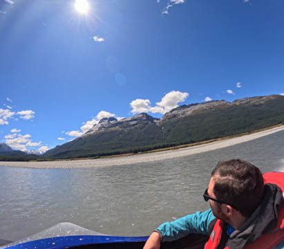
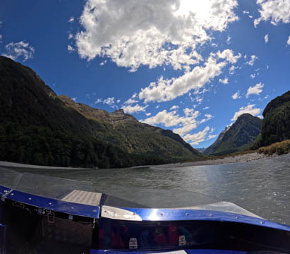
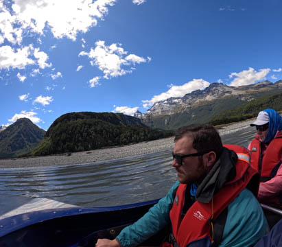
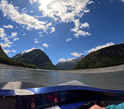
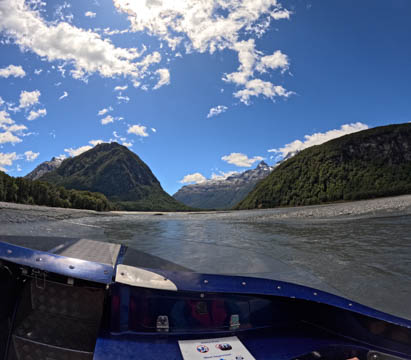
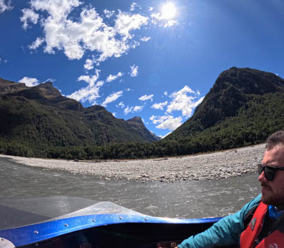
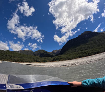
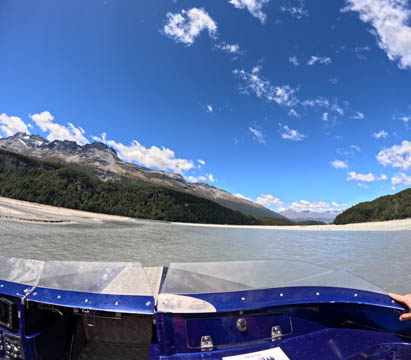
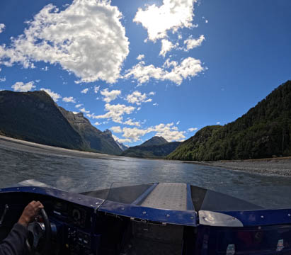
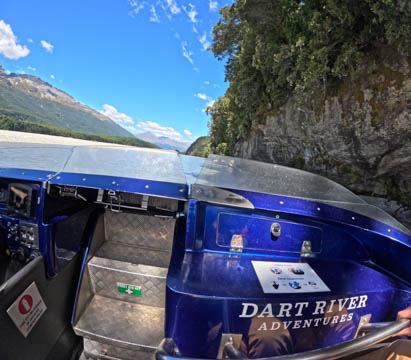
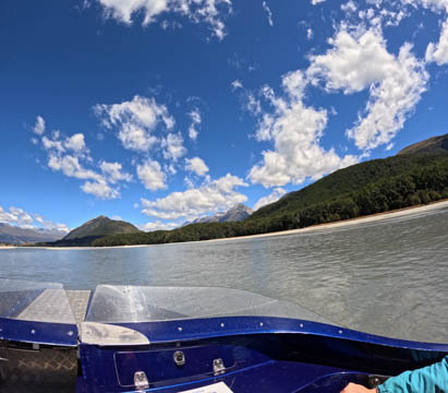
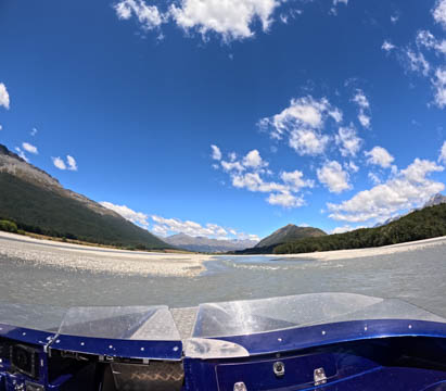
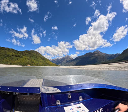
Here are some images from the GoPro.
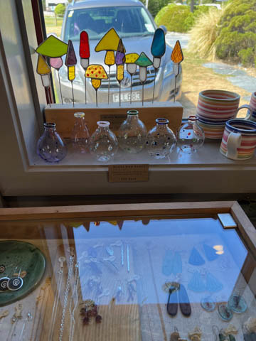
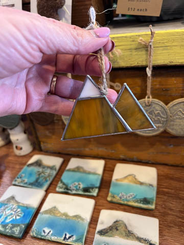
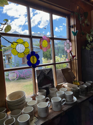
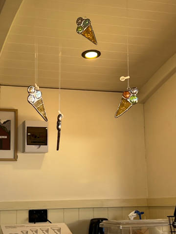
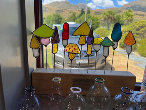
Loved the little wool and craft store we found while getting ice cream after the ride. Might be some Christmas presents from here under the tree this year. Had to take some pictures of these stained glass pieces as ideas for Alexa.
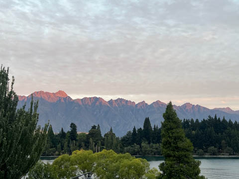
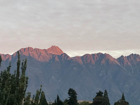
A pretty sunset shining on the Remarkables mountain range once we got back to Queenstown.
|
|
|